
Mobile Video Mapping (MVM)
Apart from conventionally used equipments, GeoVista has co-developed Mobile Video Mapping (MVM) as an innovative new survey and data collection paradigm that enables time and cost efficiencies of several magnitudes by the usage of latest technology. MVM technology has been extensively proven in the USA, Europe and Australia for performing several kinds of survey.
The introduction of MVM in India for the first time by GeoVista, has transformed the whole conventional survey and data capture industry.
We use Mobile Video Mapping (MVM) technology in following services
Technologies used in MVM system
- Dual-frequency D-GPS (with OmniStar correction service) receiver/antenna used for mapping locations and determining accurate heading
- Single/Dual Camera(s) used for collecting video images of the route
- Tachometer and IMU (Inertial Measurement Unit) inputs used to enhance position accuracy. The IMU is tightly coupled with GPS (optional – to improve accuracy)
- DMI (Distance Measurement Unit) accurately measures the distance covered by the vehicle
- Central processing unit to receive all collected data and encode position parameters to the video
- Laser scanning system (optional – for automatic sign recognition/pavement analysis)
- Processing and Analysis software to drive the collection and post processing of the data
Mpbile Video Mapping (MVM) Services
- Terrestrial Photogrammetry survey services
- Road Asset Mapping, road widening plans
- Pavement analysis, identifying building encroachments
- Rail Asset Survey and Mapping
- Navigation Mapping for LBS
- Points of Interest (PoI) mapping
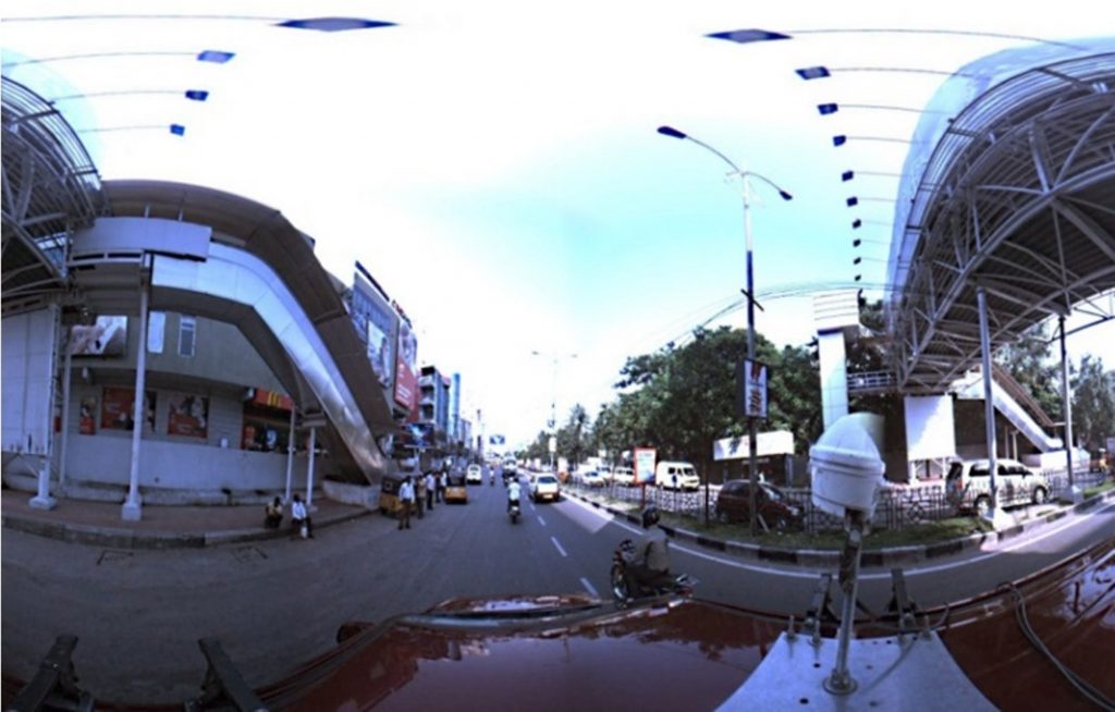
- 360° panoramic video mapping
- Street view generation
- 3D City modelling
- Advertising – ad visibility research and planning