
Surveyors have been around for centuries. While their tools and techniques have changed over time the underlying principles of measurement and mapping are still the same today.
The advancement of new technology means surveyors can now take measurements and report data with increased speed and accuracy. Modern surveyors get to use the latest technology to get their job done every day.
Apart from conventionally used equipment, GeoVista has an innovative new survey and data collection paradigm that enables time and cost efficiencies of several magnitudes by the usage of latest technology. Geovista established a new surveying and mapping workflow and implemented an up-to-date system for geospatial data management.
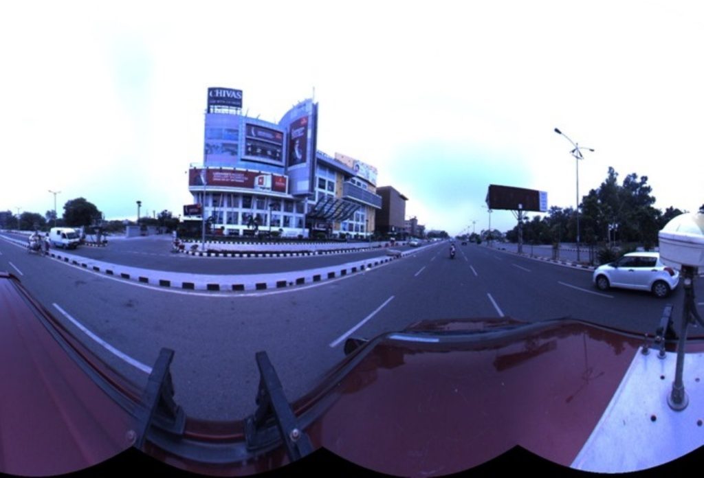
Mobile Video Mapping (MVM)
GeoVista uses Mobile Video Mapping (MVM) system which has been extensively proven in the USA, Europe and Australia for performing several kinds of survey. The introduction of MVM in India for the first time by GeoVista
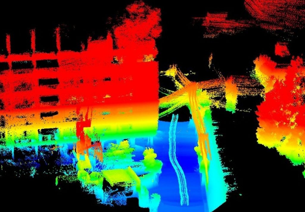
LiDAR System
Recent advances in both LiDAR and inertial navigation technology have enabled a new generation of mapping systems that weigh just a few hundred grams and fit in the palm of your hand.

Network Survey Vehicle
Road Inventory and Road Condition is major issue is India. We use Network Survey Vehicle for complete road analysis and Road condition and Payment analysis in defining true condition of road network.
Unmanned Aerial Vehicle (UAV) / Drone
Drones are becoming an increasingly popular tool for Survey and Mapping in 21st Century. GeoVista carries out UAV based Data capture and Analysis services for various fields.