
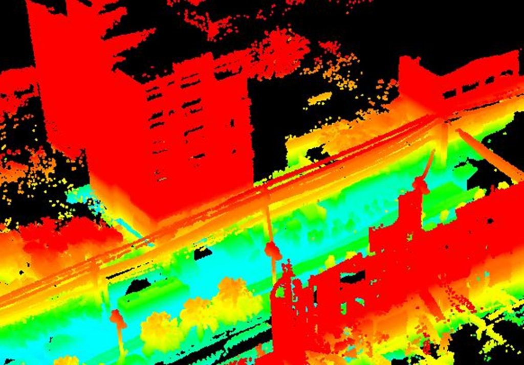
LIDAR – Road and UAV
Recent advances in both LiDAR and inertial navigation technology have enabled a new generation of mapping systems that weigh just a few hundred grams and fit in the palm of your hand. Our LiDAR system includes LiDAR Scanner, Inertial Navigation System (INS), onboard datalogging and WiFi interface for remote control. Our LiDAR is able to solve mobile mapping requirements faster and cheaper than other system on the market.
LiDAR System specifications
- High Definition LiDAR Scanner
- high-performance Dual Antenna GNSS-Aided Inertial Navigation System
- 360° field of view (horizontal)
- Measurement range 1m to typically 70m
- Up to 700,000 points/second
- Measures up to 32 lasers across a 40° vertical field of view
LiDAR Services
We use LiDAR in following services
- Planimetric and topographic mapping
- Highly-accurate pavement DTM’s
- Asset management
- Highway and roadway design surveys
- Railway asset collection and PTC mapping
- Tunnel mapping
- Statewide bridge clearance inventories
- Transmission line clearance inventories
- Bridge slope protection and seams
- Asset inventory
- Topographic surveying
- Bridge clearance analysis
- Roadway crack analysis